|
“It’s hard to remember what life was like before satellites, cell phone towers, cell phones themselves and that great mega-computer in the sky we call the Internet all got stitched together and put a map of the entire world in our pockets. Today, how often do you see people leaning over a paper map on the hood of their car working out their route with a gas station attendant? Almost never.” –Jane Clayson, WBUR’s “On Point”
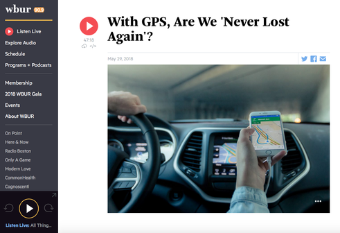
So, I feel compelled to revisit the subject after listening the other day to an episode of WBUR’s “On Point” titled, “With GPS, Are We 'Never Lost Again'?” Jane Clayson, the show’s host, interviewed Bill Kilday, a VP of marketing for the Silicon Valley software company Niantic. His new book is titled, "Never Lost Again: The Google Mapping Revolution That Sparked New Industries and Augmented Our Reality." I learned several fascinating tidbits during the discussion, and I wanted to share.
Kilday helped create the technology that is now Google Maps when Google purchased his company, Keyhole, in 2004. Google Maps, as you may well know, is a web mapping service that offers satellite imagery, panoramic street views, real-time traffic conditions, route planning, etc. Just how widely used is it? The company announced at its annual I/O developer conference that more than one billion people employ the service daily. A Google Maps feature that I especially appreciate is remapping, as this helps me avoid obstacles such as traffic accidents, construction, and road closures. There have been times when the utility routed me around an incident that I only learned about after I had avoided it. (“Why am I going this way…? Oh – there’s a four car pileup!”) How is this constant and immediate remapping possible? I also learned during the broadcast that better than 7,000 people work on the Maps team and 25 million changes are processed each day. Also of note is the fact that GPS technology has spurred other innovations. Companies such as Yelp, Zillow, OpenTable, Uber, Tinder, and any other service that involves geo location is using Google Maps or some other map application interface at its core. I moved to LA this past fall, and GPS played a part in my decision to leave my hometown of Metro Detroit. In the days before the technology, it would have been daunting to try and find my way around the sprawling, heavily trafficked metropolis that is Los Angeles – and it was. Longtime transplants have told of using the Thomas Guide to direct them around town when they first arrived. The paperback atlas is a resource, but it certainly isn’t the same as continous spoken and visual instructions. As I expected, having GPS at my disposal has made my transition to SoCal much smoother. I’ve found that’s especially true when skirting traffic accidents on the “101” or keeping my bearings during nighttime drives on steep, winding roads like Laurel Canyon. So, thank you, Mr. Kilday, GPS, Google Maps, et al. – you’ve helped this Detroiter feel more settled in the “Southland.”
0 Comments
|
AuthorI'm Eli Natinsky and I'm a communication specialist. This blog explores my work and professional interests. I also delve into other topics, including media, marketing, pop culture, and technology. Archives
July 2024
Categories |

 RSS Feed